
Silbersee topographic map
Interactive map
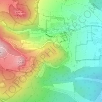
Click on the map to display elevation.
About this map
Name: Silbersee topographic map, elevation, terrain.
Average elevation: 528 m
Minimum elevation: 404 m
Maximum elevation: 715 m
Other topographic maps
Click on a map to view its topography, its elevation and its terrain.
Silbersee
Deutschland > Bayern > Landkreis Rhön-Grabfeld > Hausen > Roth
Silbersee, Roth, Hausen, Fladungen (VGem), Landkreis Rhön-Grabfeld, Bayern, 97647, Deutschland
Average elevation: 526 m