
Whitbourne topographic map
Interactive map
Click on the map to display elevation.
About this map
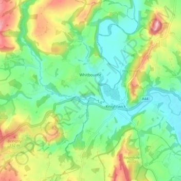
Name: Whitbourne topographic map, elevation, terrain.
Location: Whitbourne, Herefordshire, England, United Kingdom (52.17848 -2.45986 52.23182 -2.38424)
Average elevation: 77 m
Minimum elevation: 21 m
Maximum elevation: 180 m