Geolocate

Qatrun topographic map

Click on the map to display elevation.

About this map

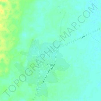
Name: Qatrun topographic map, elevation, terrain.

Location: Qatrun, Murzuq, Libya (24.87159 14.50273 24.91925 14.54786)

Average elevation: 471 m

Minimum elevation: 464 m

Maximum elevation: 487 m

Gear up for your next adventure:

Altimeter Watches - Watches measuring altitude for mountain activities
Lightweight Solo Tents - Backpacking tents designed for wild camping in the UK highlands
🥄Titanium Camping Sporks - The ultimate lightweight utensil for trail meals
🔦Head Torches - Hands-free lighting for hiking and camping
🔋Lithium AA Batteries - Long-lasting power that performs well in cold mountain weather

As an Amazon Associate, this site earns from qualifying purchases at no extra cost to you.