
Kalat topographic map
Interactive map
Click on the map to display elevation.
About this map
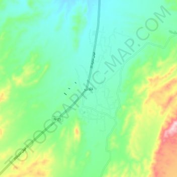
Name: Kalat topographic map, elevation, terrain.
Location: Kalat, Balochistan, 88300, Pakistan (28.99334 66.54433 29.07334 66.62433)
Average elevation: 2,055 m
Minimum elevation: 1,958 m
Maximum elevation: 2,306 m