
Langton topographic map
Interactive map
Click on the map to display elevation.
About this map
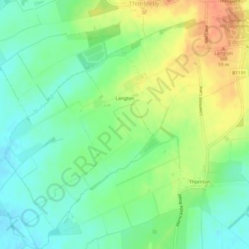
Name: Langton topographic map, elevation, terrain.
Location: Langton, East Lindsey, Lincolnshire, England, United Kingdom (53.18783 -0.17335 53.21050 -0.13671)
Average elevation: 38 m
Minimum elevation: 19 m
Maximum elevation: 64 m
Lincolnshire trails, hiking, mountain biking, running and outdoor activities