Geolocate

6150 topographic map

Click on the map to display elevation.

About this map

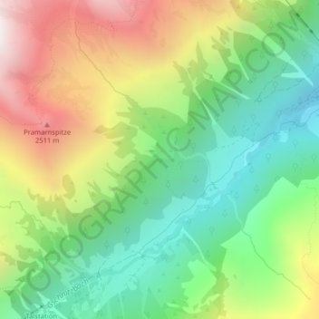
Name: 6150 topographic map, elevation, terrain.

Location: 6150, Gschnitz, Bezirk Innsbruck-Land, Tyrol, Austria (47.02063 11.30551 47.02073 11.30561)

Average elevation: 1,877 m

Minimum elevation: 1,307 m

Maximum elevation: 2,739 m

Gear up for your next adventure:

🧤Hiking Gloves - Warm and durable gloves for cold-weather walks
🍳Camping Stoves - Compact stoves for outdoor cooking
🥼Base Layers - Thermal base layers for temperature regulation
📱Phone Mounts for Hiking - Secure mounts to carry your phone on trails
📸Action Camera Chest Mounts - Record your ascent following topographic paths hands-free

As an Amazon Associate, this site earns from qualifying purchases at no extra cost to you.