Geolocate

Mars Hill topographic map

Click on the map to display elevation.

About this map

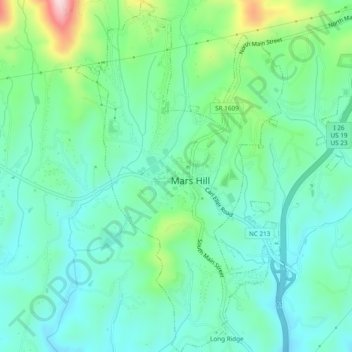
Name: Mars Hill topographic map, elevation, terrain.

Location: Mars Hill, Madison County, North Carolina, United States (35.80751 -82.56435 35.84627 -82.53603)

Average elevation: 708 m

Minimum elevation: 636 m

Maximum elevation: 929 m

Gear up for your next adventure:

🥾Trekking Poles - Poles to improve stability on uneven terrain
🧼Camping Hygiene Kits - Compact hygiene essentials for outdoor stays
🧴Tick Removal Tools - Small, essential health tool for UK woodland and moorland
🩹Hiking First Aid Kits - Compact medical kits tailored for trail injuries and emergencies
🌄Compact Monoculars - Lightweight optics for hiking

As an Amazon Associate, this site earns from qualifying purchases at no extra cost to you.