
Sainte-Thècle topographic map
Interactive map
Click on the map to display elevation.
About this map
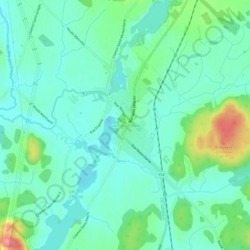
Name: Sainte-Thècle topographic map, elevation, terrain.
Location: Sainte-Thècle, Mékinac, Mauricie, Québec, G0X 3G0, Canada (46.79525 -72.52624 46.83525 -72.48624)
Average elevation: 165 m
Minimum elevation: 140 m
Maximum elevation: 239 m