
Stephen C. Foster State Park topographic map
Interactive map
Click on the map to display elevation.
About this map
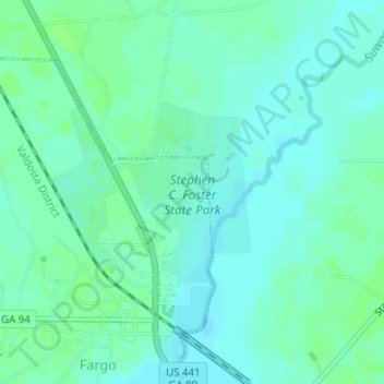
Name: Stephen C. Foster State Park topographic map, elevation, terrain.
Average elevation: 34 m
Minimum elevation: 30 m
Maximum elevation: 38 m