
Rinondoran topographic map
Interactive map
Click on the map to display elevation.
About this map
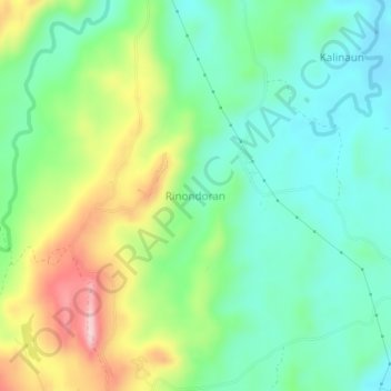
Name: Rinondoran topographic map, elevation, terrain.
Location: Rinondoran, North Sulawesi, Indonesia (1.59352 125.08657 1.63352 125.12657)
Average elevation: 92 m
Minimum elevation: 8 m
Maximum elevation: 259 m