
Ayanfuri topographic map
Interactive map
Click on the map to display elevation.
About this map
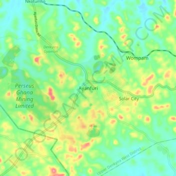
Name: Ayanfuri topographic map, elevation, terrain.
Location: Ayanfuri, Central Region, Ghana (5.92020 -1.93515 6.00020 -1.85515)
Average elevation: 147 m
Minimum elevation: 113 m
Maximum elevation: 214 m