
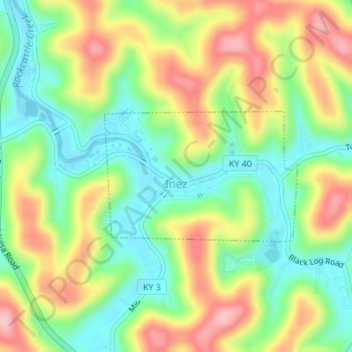
Inez topographic map
Interactive map
Click on the map to display elevation.
About this map
Name: Inez topographic map, elevation, terrain.
Location: Inez, Martin County, Kentucky, 41224, United States (37.86206 -82.54572 37.87206 -82.52695)
Average elevation: 253 m
Minimum elevation: 185 m
Maximum elevation: 342 m