
Breton topographic map
Interactive map
Click on the map to display elevation.
About this map
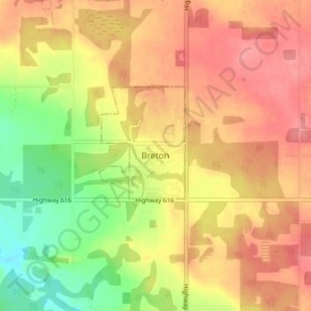
Name: Breton topographic map, elevation, terrain.
Location: Breton, Village of Breton, Alberta, T0C 0P0, Kanada (53.09078 -114.49149 53.13078 -114.45149)
Average elevation: 847 m
Minimum elevation: 801 m
Maximum elevation: 878 m