
Nospelt topographic map
Interactive map
Click on the map to display elevation.
About this map
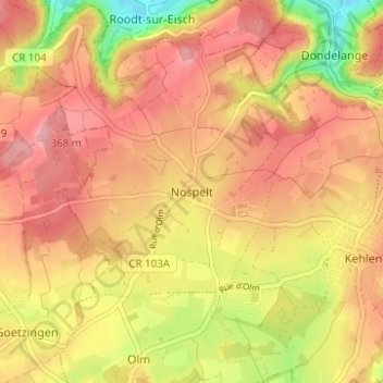
Name: Nospelt topographic map, elevation, terrain.
Location: Nospelt, Canton Capellen, 8390, Luxembourg (49.65454 5.98795 49.69454 6.02795)
Average elevation: 327 m
Minimum elevation: 243 m
Maximum elevation: 377 m