
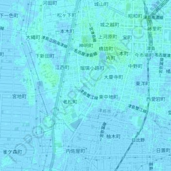
青池 topographic map
Interactive map
Click on the map to display elevation.
About this map
Name: 青池 topographic map, elevation, terrain.
Location: 青池, 宮川町, 津島市, 爱知县, 中部地方, 日本 (35.17095 136.71799 35.17170 136.71881)
Average elevation: 1 m
Minimum elevation: -3 m
Maximum elevation: 4 m