
Hohe Börde topographic map
Interactive map
Click on the map to display elevation.
About this map
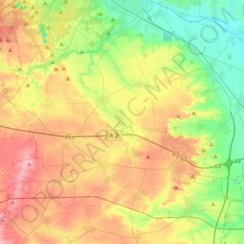
Name: Hohe Börde topographic map, elevation, terrain.
Location: Hohe Börde, Börde, Saxony-Anhalt, 39167, Germany (52.11245 11.28922 52.28134 11.56992)
Average elevation: 105 m
Minimum elevation: 44 m
Maximum elevation: 184 m