
Jila Pass topographic map
Interactive map
Click on the map to display elevation.
About this map
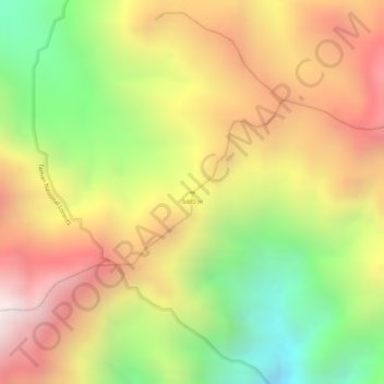
Name: Jila Pass topographic map, elevation, terrain.
Location: Jila Pass, Puncak, Central Papua, Indonesia (-4.09301 137.67053 -4.09291 137.67063)
Average elevation: 3,434 m
Minimum elevation: 2,895 m
Maximum elevation: 3,888 m
Other topographic maps
Click on a map to view its topography, its elevation and its terrain.