
New Century topographic map
Interactive map
Click on the map to display elevation.
About this map
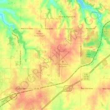
Name: New Century topographic map, elevation, terrain.
Location: New Century, Johnson County, Kansas, 66031, USA (38.79530 -94.93535 38.87530 -94.85535)
Average elevation: 317 m
Minimum elevation: 285 m
Maximum elevation: 336 m