
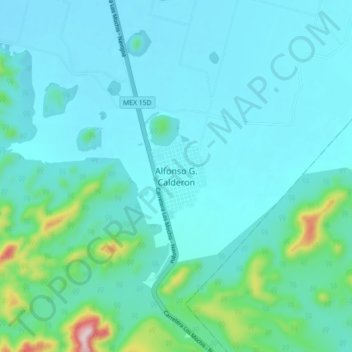
Alfonso G. Calderon topographic map
Interactive map
Click on the map to display elevation.
About this map
Name: Alfonso G. Calderon topographic map, elevation, terrain.
Location: Alfonso G. Calderon, Ahome, Sinaloa, México (26.02372 -109.06012 26.10372 -108.98012)
Average elevation: 67 m
Minimum elevation: 9 m
Maximum elevation: 440 m