
Delve topographic map
Interactive map
Click on the map to display elevation.
About this map
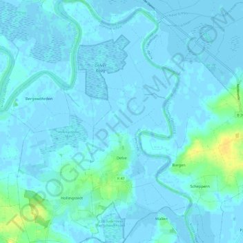
Name: Delve topographic map, elevation, terrain.
Location: Delve, Eider, Dithmarschen, Schleswig-Holstein, 25788, Germany (54.27793 9.21935 54.34698 9.28416)
Average elevation: 3 m
Minimum elevation: -4 m
Maximum elevation: 21 m
Other topographic maps
Click on a map to view its topography, its elevation and its terrain.