
Salem Lakes topographic map
Interactive map
Click on the map to display elevation.
About this map
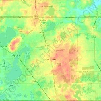
Name: Salem Lakes topographic map, elevation, terrain.
Location: Salem Lakes, Kenosha County, Wisconsin, United States (42.49521 -88.18797 42.58302 -88.06920)
Average elevation: 241 m
Minimum elevation: 213 m
Maximum elevation: 270 m
Other topographic maps
Click on a map to view its topography, its elevation and its terrain.
Pleasant Prairie
United States > Wisconsin > Kenosha County > Pleasant Prairie
Pleasant Prairie, Kenosha County, Wisconsin, United States
Average elevation: 218 m