Geolocate

Ageida topographic map

Click on the map to display elevation.

About this map

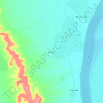
Name: Ageida topographic map, elevation, terrain.

Location: Ageida, ad-Damer, River Nile State, Sudan (17.26333 33.69667 17.30333 33.73667)

Average elevation: 370 m

Minimum elevation: 347 m

Maximum elevation: 445 m

Gear up for your next adventure:

👖Hiking Trousers - Durable trousers designed for rough terrain
🦟Anti-Midge & Tick Repellent - Vital for hiking in the Scottish Highlands during summer
📱Rugged Phone Cases - Heavy-duty protection for smartphones used as secondary GPS tools
🔋Lithium AA Batteries - Long-lasting power that performs well in cold mountain weather
👕Merino Base Layers - Natural temperature regulation for cold weather hiking and camping

As an Amazon Associate, this site earns from qualifying purchases at no extra cost to you.