
Sultanpur topographic map
Interactive map
Click on the map to display elevation.
About this map
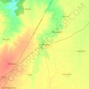
Name: Sultanpur topographic map, elevation, terrain.
Location: Sultanpur, Digod Tehsil, Kota District, Rajasthan, India (25.25270 76.13738 25.33270 76.21738)
Average elevation: 241 m
Minimum elevation: 212 m
Maximum elevation: 258 m
Other topographic maps
Click on a map to view its topography, its elevation and its terrain.
Khera Bhopal
India > Rajasthan > Digod Tehsil
Khera Bhopal, Digod Tehsil, Kota District, Rajasthan, 325204, India
Average elevation: 231 m
Seemalya
India > Rajasthan > Digod Tehsil > Seemalya
Seemalya, Digod Tehsil, Kota District, Rajasthan, India
Average elevation: 260 m