Geolocate

Teigngrace topographic map

Click on the map to display elevation.

About this map

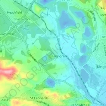
Name: Teigngrace topographic map, elevation, terrain.

Location: Teigngrace, Teignbridge, Devon, England, United Kingdom (50.53397 -3.65453 50.57572 -3.59382)

Average elevation: 28 m

Minimum elevation: -39 m

Maximum elevation: 139 m

Devon trails, hiking, mountain biking, running and outdoor activities

Gear up for your next adventure:

🔦Head Torches - Hands-free lighting for hiking and camping
❄️Walking Crampons - Added traction for icy slopes and winter peak bagging
👖Hiking Trousers - Durable trousers designed for rough terrain
📦Dry Bags - Waterproof bags to protect gear from rain
🐕Hiking Dog Harnesses - Rugged harnesses for taking your companion on mountain trails

As an Amazon Associate, this site earns from qualifying purchases at no extra cost to you.