
East Palestine topographic map
Interactive map
Click on the map to display elevation.
About this map
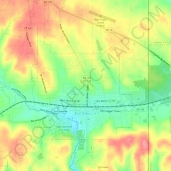
Name: East Palestine topographic map, elevation, terrain.
Average elevation: 341 m
Minimum elevation: 295 m
Maximum elevation: 383 m
Other topographic maps
Click on a map to view its topography, its elevation and its terrain.
Valley
United States > Ohio > Columbiana County
Valley, Columbiana County, Ohio, 44619, United States
Average elevation: 376 m
North Georgetown
United States > Ohio > Columbiana County
North Georgetown, Columbiana County, Ohio, 44665, United States
Average elevation: 357 m
Salem
United States > Ohio > Columbiana County > Salem
Salem, Columbiana County, Ohio, 44460, United States
Average elevation: 375 m