
Saraikela topographic map
Interactive map
Click on the map to display elevation.
About this map
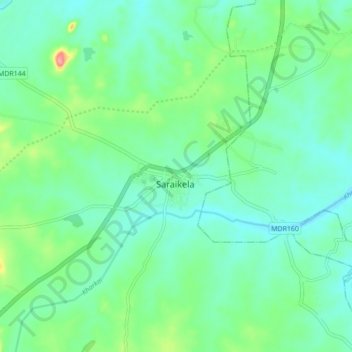
Name: Saraikela topographic map, elevation, terrain.
Location: Saraikela, Seraikela Kharsawan, Jharkhand, 833219, India (22.65964 85.89126 22.73964 85.97126)
Average elevation: 178 m
Minimum elevation: 153 m
Maximum elevation: 254 m
Other topographic maps
Click on a map to view its topography, its elevation and its terrain.