
Mindu topographic map
Interactive map
Click on the map to display elevation.
About this map
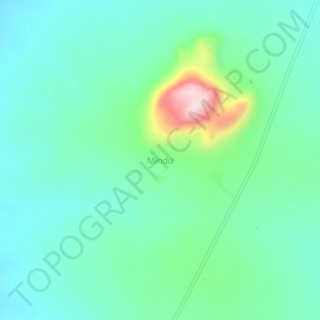
Name: Mindu topographic map, elevation, terrain.
Location: Mindu, Tunduru, Ruvuma, Southern Highlands Zone, Tanzânia (-10.84334 37.74332 -10.80334 37.78332)
Average elevation: 502 m
Minimum elevation: 429 m
Maximum elevation: 753 m
Other topographic maps
Click on a map to view its topography, its elevation and its terrain.