
Asso-Veral topographic map
Interactive map
Click on the map to display elevation.
About this map
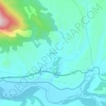
Name: Asso-Veral topographic map, elevation, terrain.
Location: Asso-Veral, Sigüés, La Jacetania, Zaragoza, Aragón, España (42.59904 -0.94612 42.63904 -0.90612)
Average elevation: 604 m
Minimum elevation: 510 m
Maximum elevation: 1,086 m