
Talkha topographic map
Interactive map
Click on the map to display elevation.
About this map
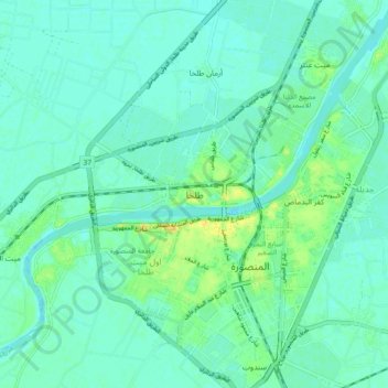
Name: Talkha topographic map, elevation, terrain.
Location: Talkha, Ad Dakahliya, 35681, Egypt (31.01223 31.33316 31.09223 31.41316)
Average elevation: 6 m
Minimum elevation: -1 m
Maximum elevation: 24 m
Other topographic maps
Click on a map to view its topography, its elevation and its terrain.