
Mase topographic map
Interactive map
Click on the map to display elevation.
About this map
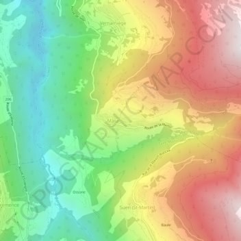
Name: Mase topographic map, elevation, terrain.
Location: Mase, Mont-Noble, Ering, Wallis, 1968, Schweiz (46.17469 7.41140 46.21469 7.45140)
Average elevation: 1,272 m
Minimum elevation: 576 m
Maximum elevation: 2,096 m
Other topographic maps
Click on a map to view its topography, its elevation and its terrain.
Nax
Schweiz > Wallis > Ering > Mont-Noble
Nax, Mont-Noble, Ering, Wallis, 1973, Schweiz
Average elevation: 990 m