
Kwatta topographic map
Interactive map
Click on the map to display elevation.
About this map
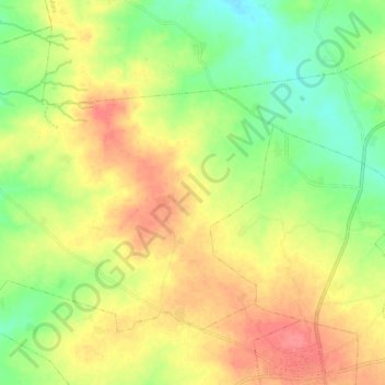
Name: Kwatta topographic map, elevation, terrain.
Location: Kwatta, Mani, Katsina, Nigeria (12.85768 7.76567 12.94267 7.86646)
Average elevation: 498 m
Minimum elevation: 467 m
Maximum elevation: 527 m