
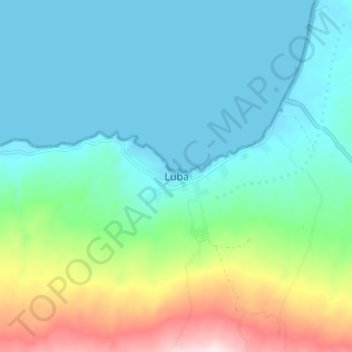
Lubá topographic map
Interactive map
Click on the map to display elevation.
About this map
Name: Lubá topographic map, elevation, terrain.
Location: Lubá, Bioko Sud, Région Insulaire, Guinée équatoriale (3.41984 8.51445 3.49984 8.59445)
Average elevation: 160 m
Minimum elevation: 0 m
Maximum elevation: 672 m