
Schalei topographic map
Interactive map
Click on the map to display elevation.
About this map
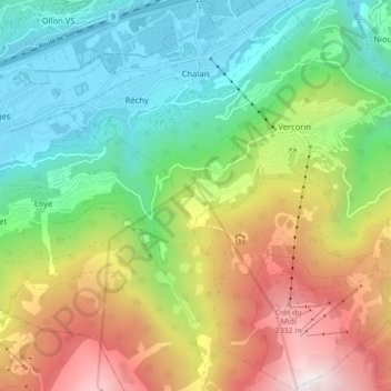
Name: Schalei topographic map, elevation, terrain.
Location: Schalei, Siders, Wallis, 3960, Schweiz (46.21618 7.47987 46.27685 7.56636)
Average elevation: 1,288 m
Minimum elevation: 502 m
Maximum elevation: 2,618 m