
Merkel topographic map
Interactive map
Click on the map to display elevation.
About this map
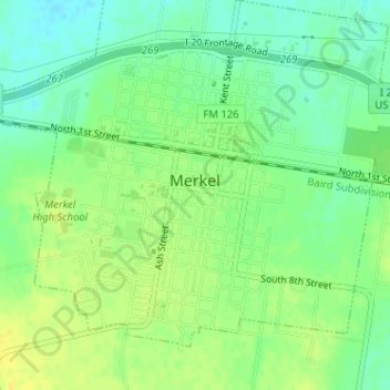
Name: Merkel topographic map, elevation, terrain.
Location: Merkel, Taylor County, Texas, 79536, États-Unis (32.45622 -100.02747 32.47894 -99.99556)
Average elevation: 572 m
Minimum elevation: 560 m
Maximum elevation: 582 m