
Village of Four Seasons topographic map
Interactive map
Click on the map to display elevation.
About this map
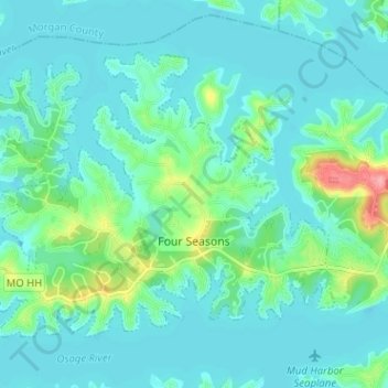
Name: Village of Four Seasons topographic map, elevation, terrain.
Location: Village of Four Seasons, Camden County, Missouri, États-Unis (38.18243 -92.75043 38.21921 -92.68677)
Average elevation: 215 m
Minimum elevation: 198 m
Maximum elevation: 293 m