
Ward 50 topographic map
Interactive map
Click on the map to display elevation.
About this map
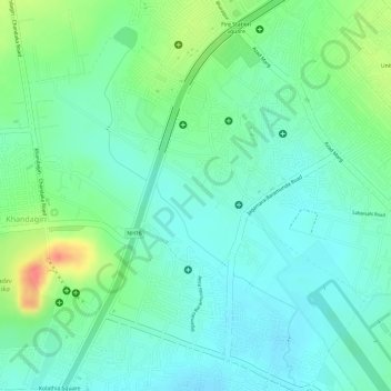
Name: Ward 50 topographic map, elevation, terrain.
Average elevation: 43 m
Minimum elevation: 23 m
Maximum elevation: 85 m
Other topographic maps
Click on a map to view its topography, its elevation and its terrain.
Ward 18
India > Odisha > Bhubaneswar Municipal Corporation
Ward 18, North Zone, Bhubaneswar Municipal Corporation, Bhubaneswar (M.Corp.), Khordha, Odisha, India
Average elevation: 21 m
Ward 41
India > Odisha > Bhubaneswar Municipal Corporation
Ward 41, South East Zone, Bhubaneswar Municipal Corporation, Khordha, Odisha, India
Average elevation: 39 m