
M/W Ward topographic map
Interactive map
Click on the map to display elevation.
About this map
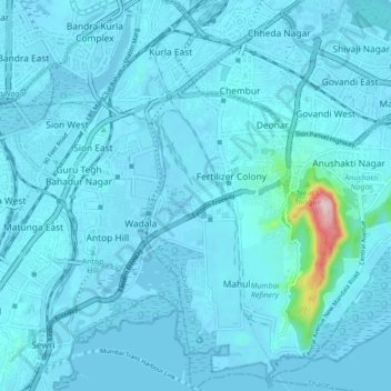
Name: M/W Ward topographic map, elevation, terrain.
Location: M/W Ward, Zone 5, Mumbai, Mumbai Suburban, Maharashtra, India (18.99165 72.87728 19.07364 72.91237)
Average elevation: 15 m
Minimum elevation: -4 m
Maximum elevation: 300 m
Other topographic maps
Click on a map to view its topography, its elevation and its terrain.