
Staunton on Wye topographic map
Interactive map
Click on the map to display elevation.
About this map
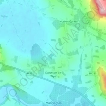
Name: Staunton on Wye topographic map, elevation, terrain.
Location: Staunton on Wye, Herefordshire, England, United Kingdom (52.09208 -2.97136 52.12450 -2.89810)
Average elevation: 91 m
Minimum elevation: 59 m
Maximum elevation: 280 m
Herefordshire trails, hiking, mountain biking, running and outdoor activities