
Shari topographic map
Interactive map
Click on the map to display elevation.
About this map
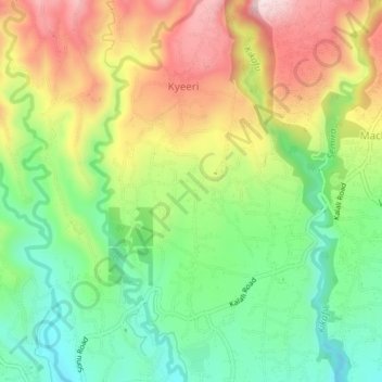
Name: Shari topographic map, elevation, terrain.
Location: Shari, Moshi, Hai, Kilimanjaro, Northern Zone, Tanzânia (-3.23790 37.18338 -3.19790 37.22338)
Average elevation: 1,385 m
Minimum elevation: 1,220 m
Maximum elevation: 1,601 m