
الحمراء topographic map
Interactive map
Click on the map to display elevation.
About this map
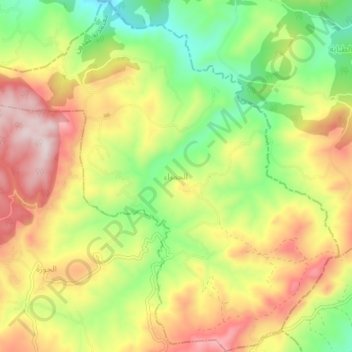
Name: الحمراء topographic map, elevation, terrain.
Location: الحمراء, معتمدية عمدون, Béja, Tunisia (36.83610 9.00012 36.89666 9.07618)
Average elevation: 395 m
Minimum elevation: 163 m
Maximum elevation: 663 m