
Buchanan topographic map
Interactive map
Click on the map to display elevation.
About this map
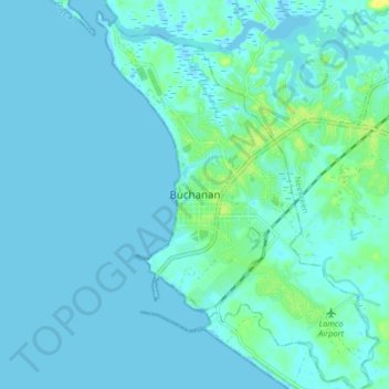
Name: Buchanan topographic map, elevation, terrain.
Location: Buchanan, Commonwealth-B, Grand Bassa County, 4000, Liberia (5.84127 -10.08940 5.92127 -10.00940)
Average elevation: 3 m
Minimum elevation: -3 m
Maximum elevation: 19 m