
الخليدية topographic map
Interactive map
Click on the map to display elevation.
About this map
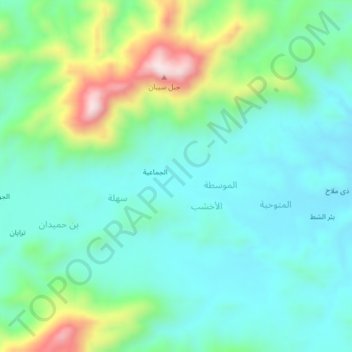
Name: الخليدية topographic map, elevation, terrain.
Location: الخليدية, Al Akhshub, Al Hashwah, Gouvernorat de Sa'dah, Yémen (16.83328 44.21020 16.87328 44.25020)
Average elevation: 1,749 m
Minimum elevation: 1,621 m
Maximum elevation: 2,121 m