
Bezeguimbra topographic map
Interactive map
Click on the map to display elevation.
About this map
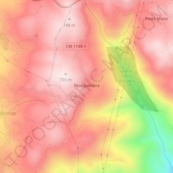
Name: Bezeguimbra topographic map, elevation, terrain.
Location: Bezeguimbra, Valdreu, Vila Verde, Braga, Portugal (41.74462 -8.34850 41.75025 -8.34461)
Average elevation: 595 m
Minimum elevation: 225 m
Maximum elevation: 749 m