
Degehabur topographic map
Interactive map
Click on the map to display elevation.
About this map
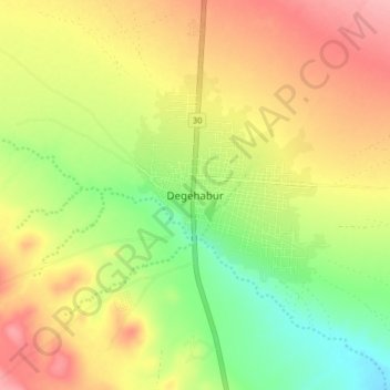
Name: Degehabur topographic map, elevation, terrain.
Location: Degehabur, Jarar, Somali Region, Ethiopia (8.18035 43.51848 8.26035 43.59848)
Average elevation: 1,073 m
Minimum elevation: 1,018 m
Maximum elevation: 1,126 m