
Trees topographic map
Interactive map
Click on the map to display elevation.
About this map
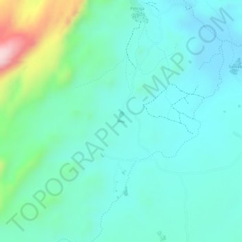
Name: Trees topographic map, elevation, terrain.
Location: Trees, , Santaba, Cercle de Bandiagara, Mopti, Mali (14.72803 -3.09044 14.72848 -3.08951)
Average elevation: 502 m
Minimum elevation: 439 m
Maximum elevation: 712 m