
Paicol topographic map
Interactive map
Click on the map to display elevation.
About this map
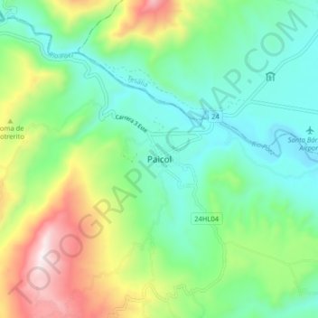
Name: Paicol topographic map, elevation, terrain.
Location: Paicol, Occidente, Huila, Colombia (2.40871 -75.81475 2.48871 -75.73475)
Average elevation: 1,050 m
Minimum elevation: 766 m
Maximum elevation: 1,691 m