
Jefferson City topographic map
Interactive map
Click on the map to display elevation.
About this map
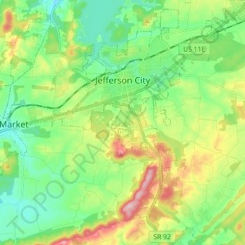
Name: Jefferson City topographic map, elevation, terrain.
Location: Jefferson City, Jefferson County, Tennessee, United States (36.05442 -83.52320 36.15455 -83.42544)
Average elevation: 372 m
Minimum elevation: 297 m
Maximum elevation: 523 m