
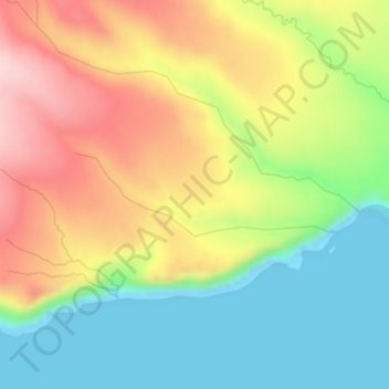
Белкин topographic map
Interactive map
Click on the map to display elevation.
About this map
Name: Белкин topographic map, elevation, terrain.
Average elevation: 109 m
Minimum elevation: 0 m
Maximum elevation: 245 m
Other topographic maps
Click on a map to view its topography, its elevation and its terrain.
Iturup
Russia > Sakhalin Oblast > Kurilsky District
Iturup, Kurilsky District, Sakhalin Oblast, Far Eastern Federal District, Russia
Average elevation: 31 m