
Mesnil-Église topographic map
Interactive map
Click on the map to display elevation.
About this map
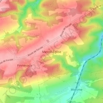
Name: Mesnil-Église topographic map, elevation, terrain.
Location: Mesnil-Église, Houyet, Dinant, Namur, Wallonie, 5560, Belgique (50.14357 4.94164 50.18357 4.98164)
Average elevation: 226 m
Minimum elevation: 138 m
Maximum elevation: 292 m