
Dhummay topographic map
Interactive map
Click on the map to display elevation.
About this map
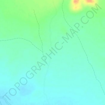
Name: Dhummay topographic map, elevation, terrain.
Location: Dhummay, Buhoodle District, Togdheer, Somaliland, Somalia (8.36689 47.03912 8.36699 47.03922)
Average elevation: 802 m
Minimum elevation: 790 m
Maximum elevation: 830 m